Els Slots
WHS #742: Talamanca Range
“The rugged terrain, difficult access and the formal protection status have kept human impacts at bay”, the OUV statement for the Talamanca Range states proudly. That means that a proper visit of this WHS, although it covers over 7% of Costa Rica, is not so easy ( for a glimpse of it you can drive Route 2, Carretera Interamericana Sur, from San José to San Isidro General and look to the left ). It encompasses eight contiguous protected areas including one in Panama, as shown on this map . I first targeted Chirripó NP, however it turned out that access is almost exclusively geared to trekkers trying to reach the peak of Chirripó mountain. Esteban found me one alternative, with a local rural tourism assocation in San Jeronimo , which may be worth looking into for a future WH traveller.
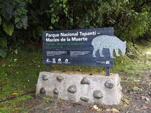
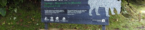
Eventually I settled for the safe bet of Tapantí-Macizo de la Muerte National Park . This lies near the pleasant town of Orosi, 2 hours south of San José. Covid limitations to the number of daily visitors required me to reserve a spot beforehand for a specific day to visit, but otherwise the park is easily accessible. It lies at the northern edge of the Talamanca range and is mostly known for its rain forest habitat. Consequentially it is also one of the rainiest parts of Costa Rica.
I arrived there at the opening hour of 8 am. On the advice of the Swiss owners of my guest house, I left the car at the park reception and continued on foot. The accessible part of the park consists of a 5-kilometer long asphalt road, with 5 short hiking trails on either side. You can drive your car up and down, but because the forest is so dense the best views and best birding are actually from the main road. Large mammals such as jaguars and tapirs will not show themselves so close to civilization though. During the full 3 hours of my visit I encountered no other tourists - I only met the park maintenance guy twice....
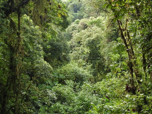
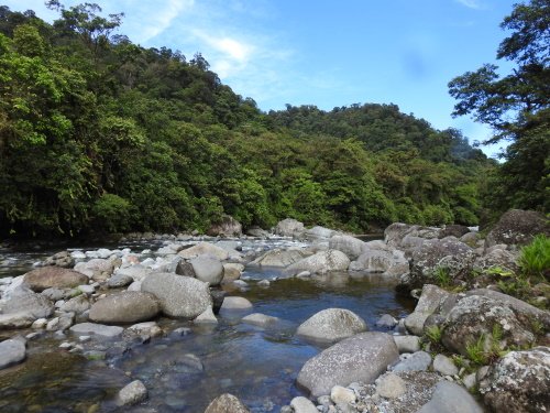
It was easy to walk on the paved road, which goes slightly uphill. The weather was lovely, about 25 degrees Celsius, but also partly cloudy so that the sun wasn’t too hot. I heard many birds but saw only few. Little brown and green birds in a green forest are always very difficult to spot. After about 2 km of hiking I reached the entrance to the first trail. This is a 1200 meter long, flat forest path qualified as “easy”. It ends at the bank of a river. From the river you also have a more open view of the wooded mountains (see third photo).
Afterwards I walked another 2 kilometers on the paved road to the start of the next trail. There are actually two of them together there, the path splits halfway. It went down quite steeply at the start - this one has been qualified as “medium" -, fortunately it was a dry day so it was not slippery. At the crossing I choose the route to the waterfall. This leads up to a viewpoint from where you can see one vertically falling off a mountain wall. I also paused here for a bit and spotted a squirrel – my first Costa Rican mammal!
As a conclusion I find that the huge scale of this mountain range and its vast forests do not allow for more than a superficial impression. You probably won’t encounter that puma, that quetzal, that specific type of orchid. Its conservation importance is undoubted though, it being a land bridge between South and North America for fauna and flora species, and of course for the preservation of this huge stretch of natural forests.
Comments
2 comments