Els Slots
Wadden Sea: Texel
At the start of the 2020/2021 winter season I set myself the goal to visit all national parks in The Netherlands . There are 21 of them. The quest so far (I am currently at 12 out of 21) has resulted in wet feet caused by peat bogs, a growing ability to recognize common waterbirds and encounters with out-of-place mammal species such as the Konik .
One of those national parks is ‘Dunes of Texel’, located on the largest and touristically most developed Dutch island in the Wadden Sea: Texel. It overlaps partly with the Wadden Sea WHS , so last Sunday I combined the two destinations into a day trip. It was my first visit to this island.
How to get there
Texel lies only 2.5 km north of the mainland. A 20 minute ferry ride from Den Helder is necessary to get there. Ferries leave every hour and even every half hour during the summer time. You can take a car with you or walk on. There are public buses on both sides, so also when you’re limited to public transport it will be easy. On the island itself a bike can be a good mode of transport to get to the off-the-beaten track spots. Texel is just 20km long and 7km wide. Be prepared for strong winds though!
The ferry crosses the Wadden Sea, so from the deck you can already observe some marine features and try to spot a seal (best chance at low tide).
Which locations are inscribed?
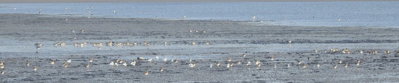
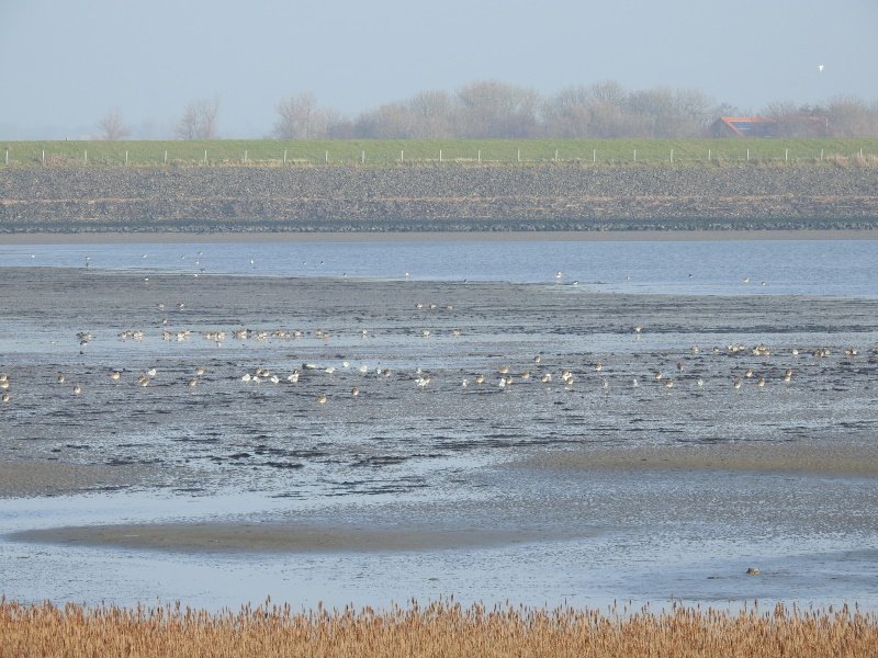
The Wadden Sea WHS mostly consists of a marine area which falls dry during low tide. But it also includes a few coastal locations on the ring of 'barrier' islands that enclose it to the north. The official WHS map isn’t great, but more detailed maps for each island can be found in the nomination dossier . The ones for Texel show two clear coastal areas within the red line that represents the core zone. The first one consists of the sandy southern tip of the island (De Hors) and the adjoining bay Mokbaai. The second one lies in the northeast and is an area called De Schorren, a foreland salt marsh.
What are the typical landscapes to look for?
The site's OUV is based on the "multitude of transitional zones between land, the sea and freshwater environment". Examples are:
-
Salt marshes that are regularly flooded by the tides and provide resting, breeding and feeding grounds for birds.
-
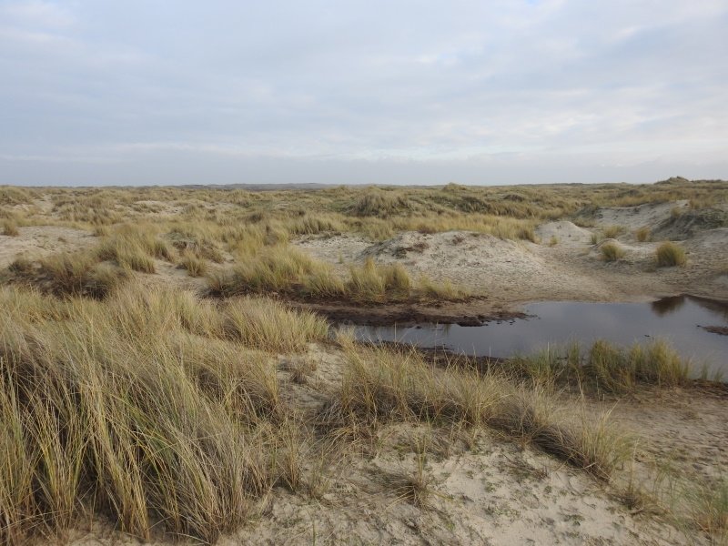
Coastal sand dunes, including ‘young’ ones. These are part of the ‘Dunes of Texel’ national park, which stretches out northwards along the North Sea coast. Best seen at De Hors.
-
Barrier islands: the whole of Texel is one.
-
Tidal inlets and channels: De Slufter is the best example, it lies within the NP but outside the WHS core zone although it is named in the nomination dossier. Still a must-visit.
Where are the birds?
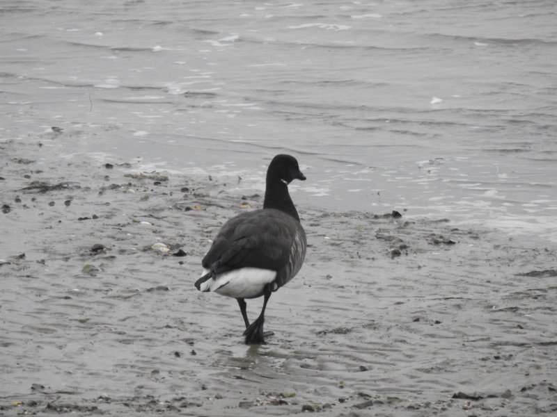
Texel possibly is the best birding site in The Netherlands , with almost 400 species on record. Even during the winter it is, when it attracts migrant birds from Scandinavia and the Arctic. They really like to hang out in the agricultural fields behind the dikes. I found them easier to see there than in the protected areas, as you can get closer. Common winter birds are: Bar-tailed godwit, Common redshank and a variety of geese and duck species. The Mokbaai and De Schorren both were home to massive amounts (thousands) of godwits for example when I visited early January. During Spring and Summer they are joined by spoonbills, ruddy turnstones, common snipes and red knots among others. Also reed birds and songbirds are common.
Comments
No comments yet.