Uzbekistan
Ancient Termiz

Site Info
Official Information
- Full Name
- Ancient Termiz (ID: 5298)
- Country
- Uzbekistan
- Status
-
On tentative list 2008
Site history
History of Ancient Termiz
- 2026: Incomplete - not examined
- .
- 2014: Incomplete - not examined
- .
- 2013: Incomplete - not examined
- .
- 2012: Incomplete - not examined
- .
- 2008: Added to Tentative List
- Added to tentative list
- Type
- Mixed
- Criteria
Links
- UNESCO
- whc.unesco.org
All Links
UNESCO.org
- whc.unesco.org — whc.unesco.org
Community Information
- Community Category
- Archaeological site: Near Eastern
Travel Information
Recent Connections
-
Incomplete more than once
2012, 2013, 2014, 2026 (so far champio…
Connections of Ancient Termiz
- World Heritage Process
-
-
Incomplete more than once
2012, 2013, 2014, 2026 (so far champion)
-
News
No news.
Recent Visitors
- Marcobrey
- Alexander Lehmann
- Luke LOU
- Erik Jelinek
- Kevin Padley-Knight
- Sergio Arjona
- Jarek Pokrzywnicki
Visitors of Ancient Termiz
Community Reviews
Show full reviews
Site visited in April, 2010. Public transport - marszrutka, shared taxi, taken from Samarkanda.
Area rich of historical monuments but traces are scattered in many different places all around the city and in the outskirts. Termez was inhabited from prehistorical times with its heydays during Buddhist era 1-3 century AD. All that ends with the invasion of Genghis Khan troops in 1220, that razed the whole city. Buddhist structures together with other ruins and later rebuilds are the parts of ancient Termez today. More recently Termez was a witness of withdrawal of Russian troops from Afganistan (1989).
Describing all places I will use names from official UNESCO website, with official translations or names that were noticed on the spot. They can be grouped according to the direction:
North-west of central Termez:
QORATEPA, or Kara-Tepa, located around 1 km from Fayaztepa, to the south-east, during my visit impossible to reach as it was located near the border with Afganistan (security reasons), visible from Fayaztepa, but I was advised not to take photos. Google coordinates: 37.278321, 67.182692
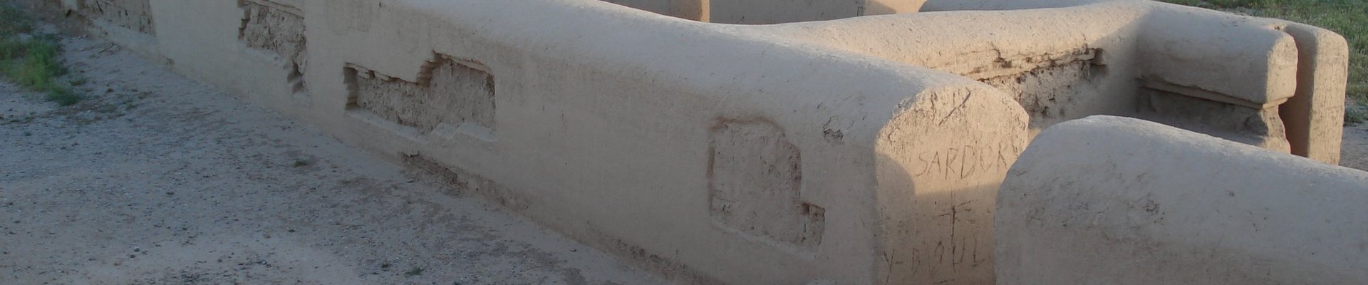
FAYAZTEPA, or Fayoz-Tepa (Uzbek), 3 rd century Buddhist archeological site, recently beautifully restored with Japanese help (UNESCO/Japan Fund-In-Trust Project), monastery complex with clay stupa with the starcase in the middle. Looks like all buildings were built using clay (adobe). All restored / reconstructed up to around 2 meters from the ground, so full layout of the complex is visible. Google coordinates: 37.286510, 67.187689
ZURMALA MORTAR, or Buddhist Stupa of …
Keep reading 0 comments