Niger Basin

Connected Sites: 5

The Niger River is the main river of West Africa, extending about 4,180 kilometres (2,600 miles). Its drainage basin is 2,117,700 km2 (817,600 sq mi) in area. Its source is in the Guinea Highlands in south-eastern Guinea near the Sierra Leone border. It runs in a crescent shape through Mali, Niger, on the border with Benin and then through Nigeria, discharging through a massive delta, known as the Niger Delta, into the Gulf of Guinea in the Atlantic Ocean. The Niger is the third-longest river in Africa, exceeded by the Nile and the Congo River. Its main tributary is the Benue River.” (Wiki) See map

Connected Sites

  • Timbuktu
    Inscribed: 1988
    3.45
    27
    2
    Situated c20kms from the Niger on higher ground away from flooding
  • W-Arly-Pendjari Complex
    W-Arly-Pendjari Complex
    Benin, Burkina Faso, Niger
    Inscribed: 1996
    1.94
    13
    4
    Although the majority of the complex is stated by UNESCO to drain southwards into the Volta via the Pendjari (with no mention of the Niger river!) the areas within the "W" NP in the NE (Benin, Burkina Faso & Niger) drain, mmainly via the Alibori and Mekrou, into the Niger river which flows through a part of those parks
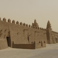
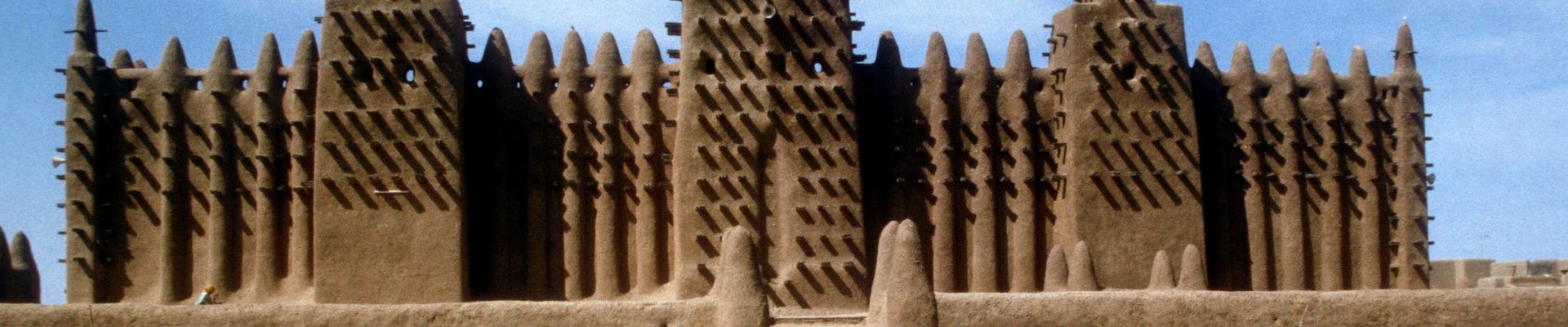
  • Tomb of Askia
    Inscribed: 2004
    2.22
    6
    1
    In Gao on the Niger
  • Cliff of Bandiagara
    Inscribed: 1989
    3.46
    31
    2
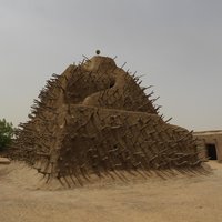
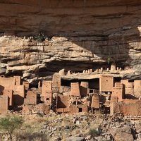
    “the local drainage and seasonal streams in the area contribute to the Niger River system. Specifically, the Yamé River in Dogon Country is a tributary of the Niger River. “
  • Djenné
    Inscribed: 1988
    3.66
    33
    2
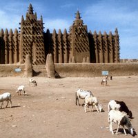
    Situated close to the Bani river, a majot tributory of the Niger. In times of flood the town becomes an island within the Bani/Niger floodplain