Connected Sites
-
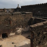
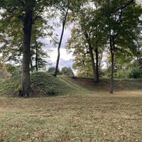
The Fort was given a form that was roughly human ... the image of the martyred Christ has also been read in the plan of the fort (AB ev)
-
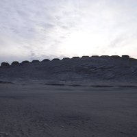
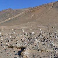
A group of geoglyphs is found 700 m southwest of the Fortified Temple, another is 2.2 km away. They were created by piling up small fragments of dark green andesite from nearby dikes over a light gray sand layer. This technique was used to create simple figures of triangles, circles, concentric circles, and rectangles. (Nomination Text, p. 48-49)
-
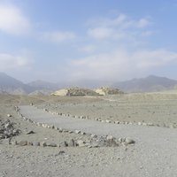
A geoglyph associated with the archaeological site of Chupacigarro is found in a small gully to the west, 1 km from the Sacred City of Caral. The geoglyph depicts a head drawn in profile. (nomination file)
-
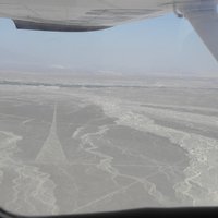
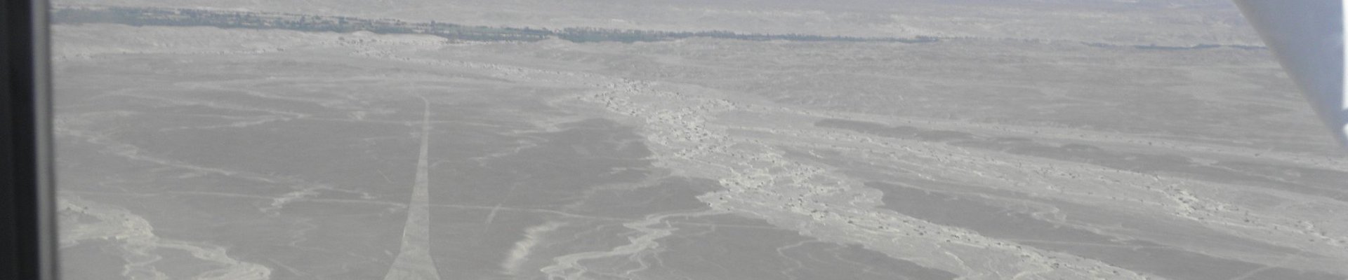
The lines include numerous designs and representations of animals etc
-
Two geoglyphs from the Late Period have been found at the mouth of the Camarones River. The first is located inside the valley, six kilometers from the mouth of the river and is made up of a panel of camelid figures. The second is a circular figure located at the top of the southern slope of the river mouth, created using a subtractive technique and with red pigment on its borders. Both geoglyphs are related to trails that connect the river mouth to the middle of the Camarones Valley. (Chinchorro Culture Nomination Text, p. 143)
-
It is often stated that the outline plan for Brasilia was designed by Lucio Costa in the form of an airplane or even a dragonfly. This seems likely to have been a post hoc rationalisation (as in "Forming the cockpit of the Brasilia airplane plan is the Plaza of Three Powers"). Costa merely stated in his "Pilot Plan" of 1957 "Basically, it was born of the primary gesture of one who marks or takes possession of a place: two axes crossing at right-angles; the very sign of the Cross.It was then sought to adapt this sign to the local topography, the natural drainage of the area, to the best possible orientation; one of the axes was curved in order to make it fit into the equilateral triangle which limits the urbanized area
-
"Huge earthen squares, circles, and octagons are executed with a precision of form" (AB ev)