Connected Sites
-
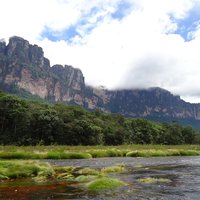
Angel Falls was famously discovered by Jimmy Angel overflying it in Nov 18 1933 (though they were of course known to the local Pemon Indians)
-
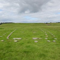
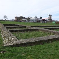
Woodhenge in 1925 (wiki)
-
"Trelleborg was first recognised as a Viking fortification when the National Museum commenced excavations in 1934 (...). What had been originally envisioned as a small-scale investigation ended up lasting 9 years, up until 1942. By this time most of the area had been investigated, and the outer defences had been discovered in 1936 on an aerial photograph. Up until then, the outer earthwork had not been known as it was no longer visible in the landscape."
See en.natmus.dk
-
"It was sighted in 1935 by prospectors of the Anglo Iranian Oil Company who were surveying the region by airplane"
See www.britannica.com
-
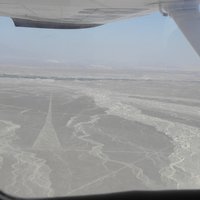
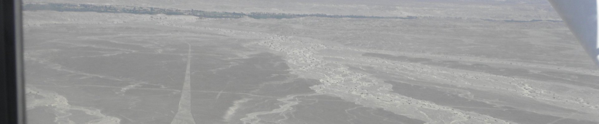
"were first spotted when commercial aircraft started to fly over the region within the late 1920s. Some of the passengers reported seeing some sort of pictures on the desert surface below."
-
Kleve-Keeken (20): "The camp was first discovered in 2016 by aerial photography." (Nomination file, p. 68)
-
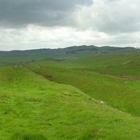
The Nomination File for the "Antonine Wall" contains numerous references (search on "Aerial") e,g "All the 20 camps along the Antonine Wall have been found through aerial survey and photography. None is visible today." and "Aerial survey and photography shortly after the Second World War led to the discovery of a new type of structure on the Wall: the fortlet."
-
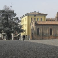
"The archaeological finds from the burials of Spina were discovered with the help of aerial photography. Aside from the white reflective surfaces of the modern drainage channels there appeared in the photographs a ghostly network of dark lines and light rectangles, the former indicating richer vegetation on the sites of ancient canals. Thus the layout of the ancient trading port was revealed, now miles from the sea, due to the sedimentation of the Po delta." (wiki)
See en.wikipedia.org